PhragFinder
This model is designed to identify phragmites in drone imagery, providing their correct geolocation so that environmental consultants can quickly identify the areas in need of remediation.
Beta
Free Trial available!

Transform Invasive Plant Detection
Eliminate time-consuming, labor-intensive processes! Now there’s a simple, fast, and automated way to identify phragmites—with no hiking through wetlands or manually drawing polygons in satellite imagery involved.
This machine learning model uses instance segmentation to analyze drone imagery and generate geo-referenced polygons of phragmites found.
Use Case
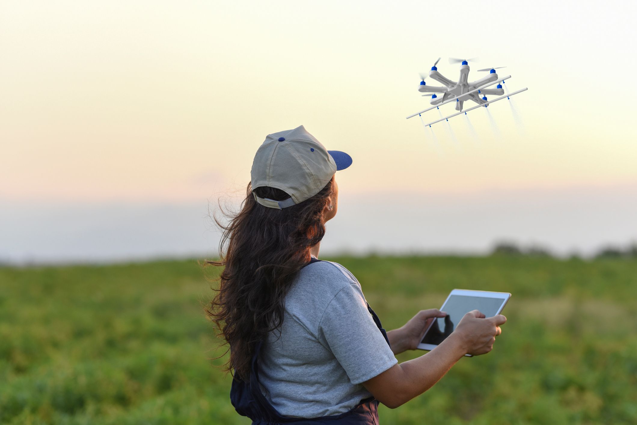
After site surveillance, run drone imagery through the model to easily identify phragmites. Model results can be fed into a sprayer drone for targeted treatment.
Benefits
This model will:
- Reduce the time spent looking for and treating invasive plants.
- Increase the precision of invasive plant species management.
- Help decrease the amount of funding needed for treatment of invasive plants.
- Reduce risks associated with using herbicides to control invasive plants.
Note: This model is intended for beta testing only. It has a
limited feature set and should not be used for production
applications.
mAP Score
PhragFinder: 71.2%
Required Inputs
Note: This model is trained on vertical imagery, collected directly below with a maximum oblique angle of 30-degrees. A minimum 20 megapixel camera and 1-inch CMOS sensor is recommended for data collection.
The model works best when:
- Processing imagery collected during the early to mid-summer growing season (when the vegetation is its greenest).
- Identifying dense stands of phragmites that are clearly visible. Scattered individual plants or recently-mowed phragmites may not be detected.
- The ideal flight altitude for PhragFinder is 300 or less feet for a 20mp camera. For a lower quality camera, flying lower is recommended.
Expected Outputs
- DXF file
- Shapefiles
PhragFinder improves the process of identifying phragmites, reducing labor time for restoration teams and allowing them to easily treat targeted areas.